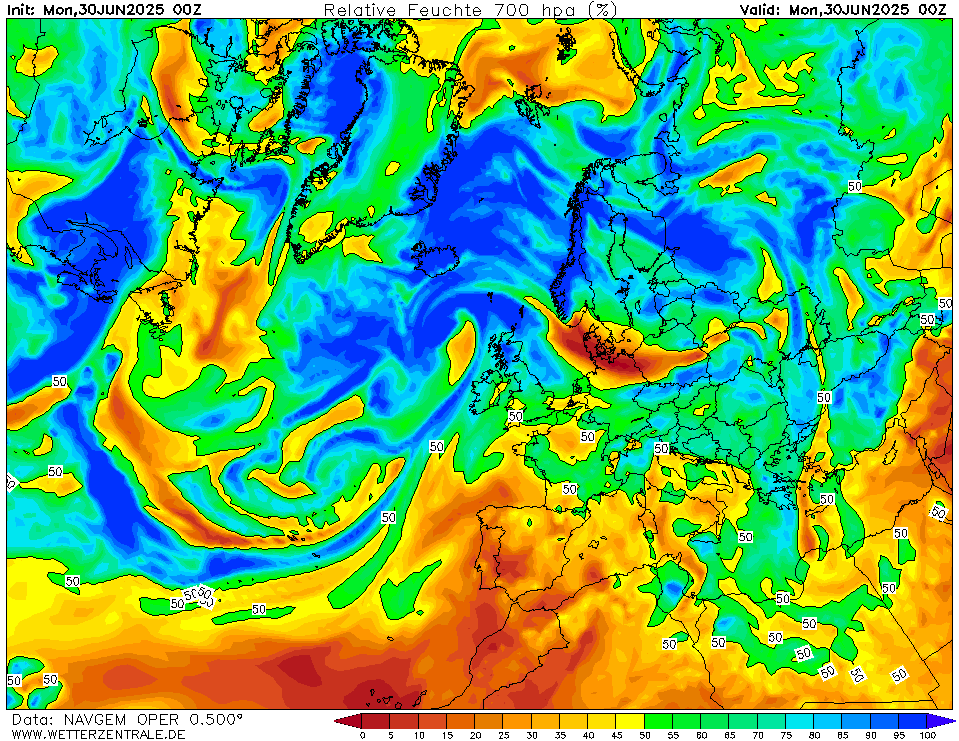
NAVGEMCurrently selected. NAVGEM is a model run by the NOAA and serves the US navy with weather forecasts. The WZ maps are based on data that is available from the NCEP server with a grid spacing of 0.5 degree and is updated twice daily (7 and 19 UTC).

Member:
OP
0Tue 08 Sep 00:00
12Tue 08 Sep 12:00
24Wed 09 Sep 00:00
36Wed 09 Sep 12:00
48Thu 10 Sep 00:00
60Thu 10 Sep 12:00
72Fri 11 Sep 00:00
84Fri 11 Sep 12:00
96Sat 12 Sep 00:00
108Sat 12 Sep 12:00
120Sun 13 Sep 00:00
132Sun 13 Sep 12:00
144Mon 14 Sep 00:00
156Mon 14 Sep 12:00
168Tue 15 Sep 00:00
180Tue 15 Sep 12:00
Run:
00 12
Interval

URL of this map